Wheat Ridge Neighborhood Guide: Living in This Charming Community in 2026
Wheat Ridge Neighborhood Guide: Living in This Charming Community in 2026
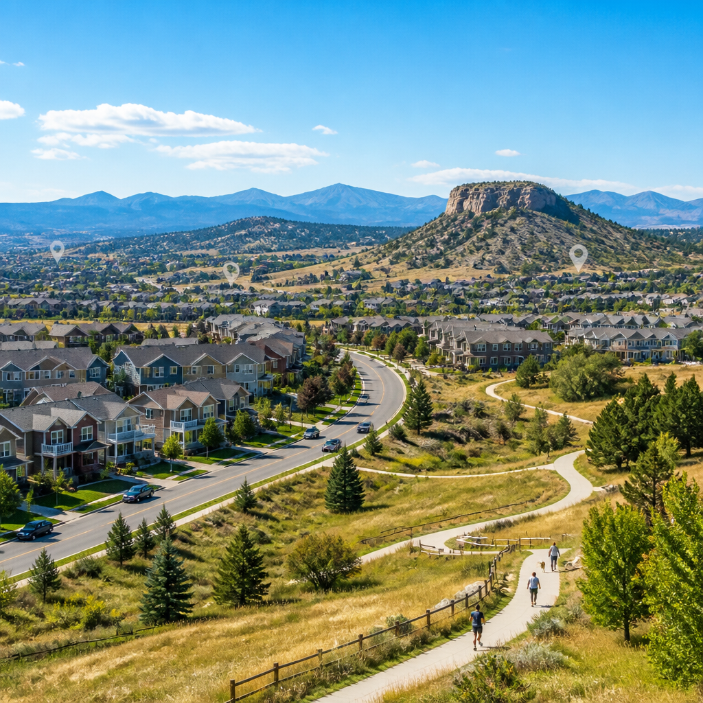
Wheat Ridge, Colorado blends classic suburban streets with emerging mixed-use corridors, drawing residents who value both space and proximity to Denver. According to U.S. Census Bureau QuickFacts, Wheat Ridge had about 33,000 residents as of 2023, giving the city an intimate, small-town scale. Longtime single-family pockets near Wheat Ridge High School meet newer townhomes along West 38th Avenue, while access to Crown Hill Park, Anderson Park, and the Clear Creek Trail keeps outdoor recreation within a few minutes of most homes.
How is Wheat Ridge laid out, and which streets define its character?
Wheat Ridge stretches roughly from Sheridan Boulevard on the east to Kipling Street on the west, with West 32nd Avenue and West 44th Avenue forming important east–west spines. According to the City of Wheat Ridge zoning map from City of Wheat Ridge, low-density residential covers more than 60% of land area, concentrating single-family homes near Prospect Valley Elementary and Stevens Elementary. Commercial clusters follow Wadsworth Boulevard and West 38th Avenue, where independent businesses and services line both sides of the corridor.
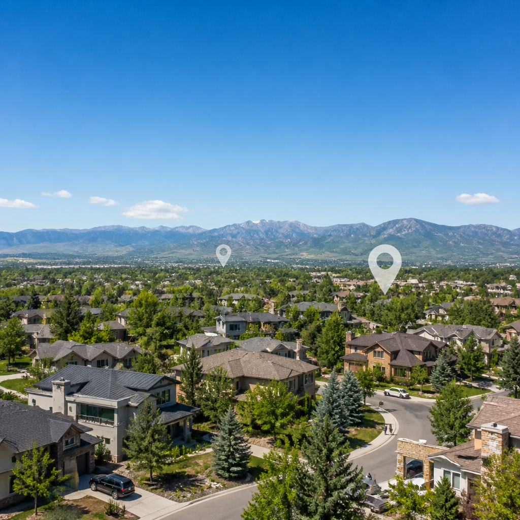
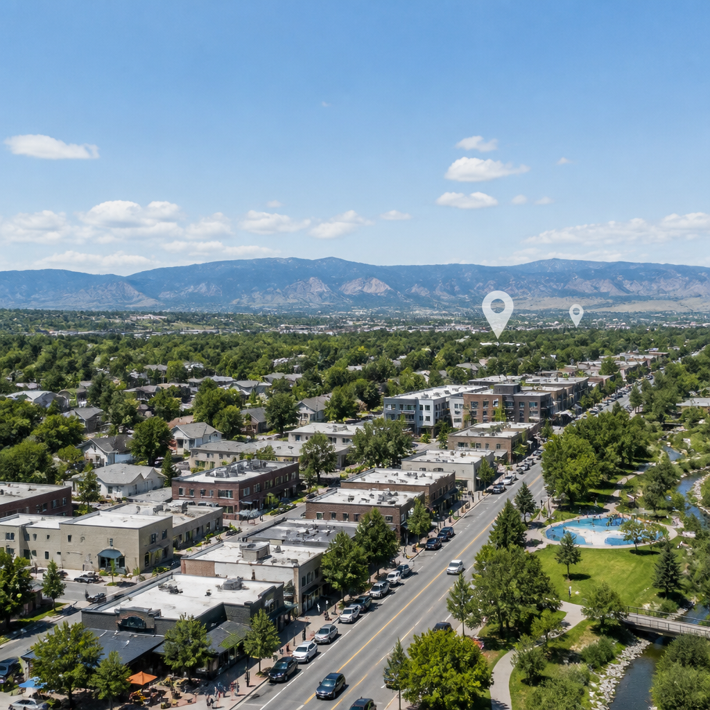
The West 38th Avenue corridor stands out as the city’s informal main street, linking restaurants such as Right Coast Pizza, Colorado Plus Brew Pub, and Stylus & Crate coffee. Neighborhoods north of West 38th Avenue, including streets near Panorama Park and Happiness Gardens, feature mid-century ranch homes on wider lots. South of West 38th Avenue toward the Clear Creek Trail, smaller pockets of townhomes and garden-style apartments cluster close to transit stops along Pierce Street and Harlan Street.
On a summer evening near Discovery Park, the sound of children splashing in the interactive fountain mixes with the low hum of traffic along West 38th Avenue. The smell of wood-fired pizza from Right Coast Pizza drifts across the green lawn, while string lights glow above outdoor tables at Colorado Plus Brew Pub. As the sun sets behind the foothills, the sky over Kipling Street turns deep orange, reflecting off parked cars and storefront windows along the corridor.
Walkability varies between blocks. According to Walk Score, Wheat Ridge holds an overall Walk Score around 55, a Transit Score near 33, and a Bike Score close to 58 as of early 2026. Homes closer to West 38th Avenue and Sheridan Boulevard tend to enjoy shorter walks to cafes, Wheat Ridge Lanes, and Bardo Coffee House, while properties near Youngfield Street trade walkability for faster access to I-70 and the nearby Colorado Mills shopping district in Lakewood.
What types of homes and prices define the Wheat Ridge housing market?
Housing in Wheat Ridge leans heavily toward single-family homes, particularly mid-century ranches and 1960s brick tri-levels on tree-lined streets such as Depew Street, Otis Street, and Newland Street. According to Redfin data through early 2026, most detached homes in Wheat Ridge close in a broad range from about $550,000 to roughly $900,000, depending on size and renovation level. Updated properties near Crown Hill Park and the Ridge at 38 district often command premiums due to location and modern finishes.
Townhomes and condos provide options for residents seeking lower maintenance or a starting point in the market. Based on current reports from Realtor.com, attached homes in Wheat Ridge frequently transact between approximately $350,000 and about $550,000 as of Q1 2026. Newer infill projects along West 29th Avenue and near Sheridan Boulevard offer open-concept layouts, attached garages, and energy-efficient systems that appeal to residents prioritizing modern design within a short drive of downtown Denver.
Older properties present renovation potential. Many ranch homes near Anderson Park and the Clear Creek Trail still retain original kitchens, unfinished basements, or dated windows. According to cost guides from Remodeling Magazine, midrange kitchen remodels in the Denver area often run between $80,000 and roughly $95,000, while basic siding or window updates typically fall in the $15,000 to around $25,000 bracket. Those numbers help frame potential total investment for buyers targeting value-add properties.
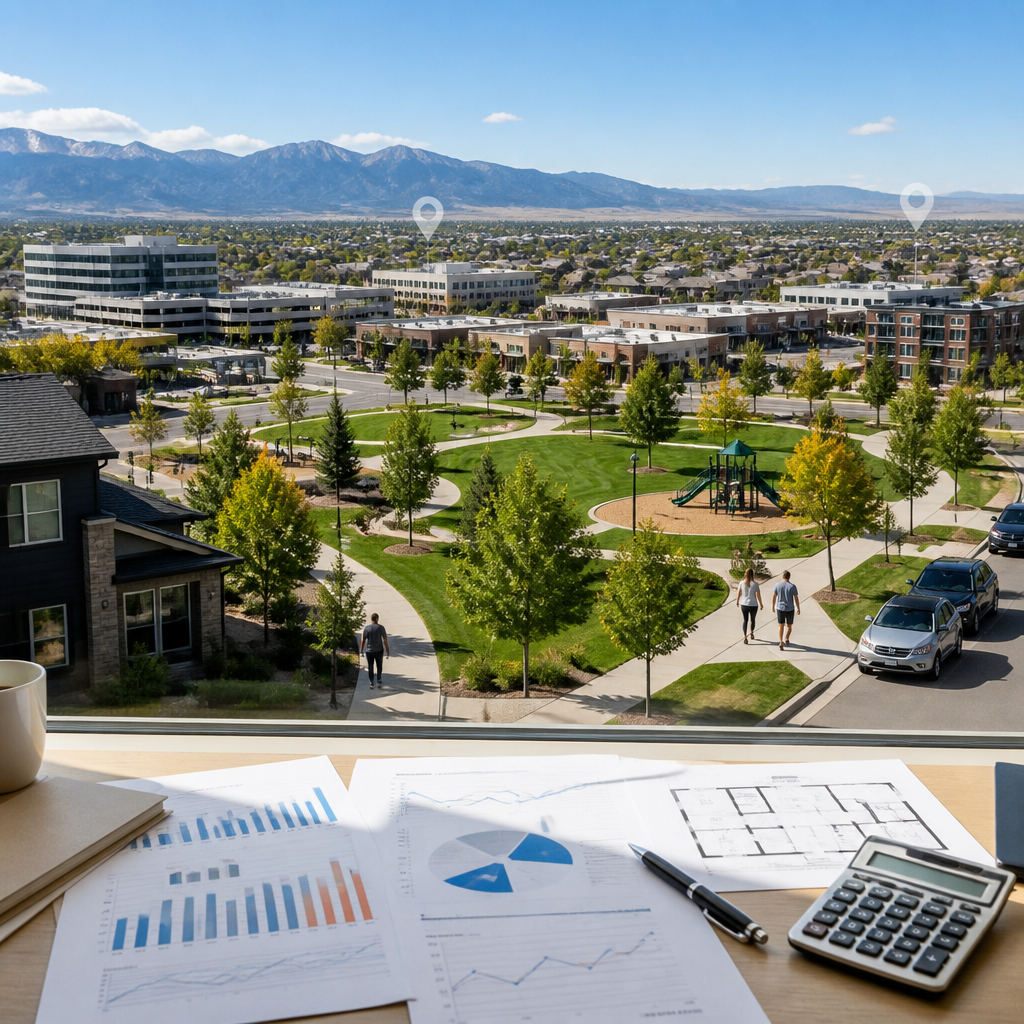
Competition levels fluctuate with seasonality. Redfin’s market tracker indicates that, during spring 2025, roughly 45% of Wheat Ridge listings went under contract within two weeks, while the average days on market hovered near 20 to 25 days. That pace, combined with relatively limited inventory—often under 80 active listings citywide—means interested parties often monitor new homes near Wheat Ridge High School, Lewis Meadows, and Applewood Village very closely when inventory tightens.
Which schools and educational options serve Wheat Ridge residents?
Wheat Ridge lies within Jefferson County Public Schools, one of Colorado’s largest districts. Wheat Ridge High School, situated along West 32nd Avenue near Everett Street, anchors secondary education in the city. According to GreatSchools, Wheat Ridge High holds an overall rating around 6 out of 10 as of 2026, with particular strengths in college readiness and advanced coursework participation. The campus draws students from surrounding neighborhoods and offers arts, athletics, and career-focused programs.
Middle-grade students often attend Everitt Middle School on Everett Street, just south of West 38th Avenue. GreatSchools lists Everitt Middle around a 5 out of 10, with improving test scores and growing enrichment options. Elementary coverage includes Prospect Valley Elementary near Miller Street, Stevens Elementary along Reed Street, and Kullerstrand Elementary closer to Garrison Street. Families sometimes compare these campuses with nearby Lakewood and Edgewater schools when evaluating specific blocks along Pierce Street, Carr Street, or Simms Street.
Niche assigns Wheat Ridge an overall grade in the B range for public schools, based on 2025 data evaluating academics, teachers, and diversity. That rating reflects solid but varied performance, often influenced by program selection and individual school culture. Several private options, including Beth Eden Baptist School on West 26th Avenue and schools in nearby Arvada and Lakewood, expand choices for residents seeking religious education or specialized curricula within a 5 to 10-mile radius.
Access to higher education also remains convenient. The Auraria Campus in downtown Denver—home to the University of Colorado Denver, Metropolitan State University of Denver, and Community College of Denver—sits roughly 8 miles southeast via I-70 and Speer Boulevard. The Colorado School of Mines in Golden lies about 7 miles west along I-70 and Highway 58. These institutions provide undergraduate and graduate programs, continuing-education courses, and public events that regularly attract Wheat Ridge residents seeking professional advancement or cultural programming.
What parks, trails, and daily amenities shape lifestyle in Wheat Ridge?
Crown Hill Park, straddling the Wheat Ridge–Lakewood border near West 26th Avenue and Kipling Street, functions as one of the community’s signature open spaces. According to Jefferson County Open Space, the park encompasses about 242 acres and offers more than 3 miles of soft-surface trails around Crown Hill Lake. Residents frequently spot waterfowl, enjoy mountain views, and walk dogs along the perimeter paths. Nearby streets such as Garland Street and Independence Street often attract buyers who prioritize easy park access.
Anderson Park, located along Clear Creek Drive, hosts Wheat Ridge Carnation Festival events and offers a seasonal outdoor pool, playgrounds, and sports fields. The Clear Creek Trail passes directly through the park, providing a paved path extending roughly 20 miles between Golden and Commerce City, according to Jeffco Open Space. Discovery Park near West 38th Avenue and Kipling Street adds interactive fountains, public art, and a small performance area, helping the Ridge at 38 district function as a social hub.
On weekend mornings along the Clear Creek Trail near Johnson Park, the rush of the creek muffles most traffic noise from Kipling Street. The smell of wet cottonwood leaves mixes with the earthy scent rising from the packed-dirt banks. Cyclists’ gears click softly as they pass, while joggers in bright shirts move through dappled shade under the trees. Freshly brewed coffee from Bardo Coffee House in nearby Edgewater often rides the cool air when the wind shifts east.
Everyday errands remain straightforward. The stretch of Wadsworth Boulevard between West 32nd Avenue and West 44th Avenue hosts grocery stores, hardware retailers, and national chains, while specialty shops cluster near the Ridge at 38 area. According to Walk Score, several pockets around West 38th Avenue reach walk scores in the mid-60s, reflecting easier access to cafes, services, and bus stops. Residents often pair trips to Sprouts Farmers Market, King Soopers, or the local Safeway on 38th with short detours to independent bakeries or salons.
How convenient is Wheat Ridge for commuting, transit, and regional access?
Wheat Ridge’s location directly along I-70 allows quick access to downtown Denver and mountain destinations. According to Google Maps travel estimates, the distance from central Wheat Ridge near West 38th Avenue and Wadsworth Boulevard to Denver Union Station is about 7 to 8 miles, often taking between 18 and 25 minutes in typical traffic. Westbound, many residents reach Lookout Mountain or Evergreen trailheads in less than 35 minutes when roads are clear.
Transit options focus on bus service and nearby rail connections. The Regional Transportation District, or RTD, operates several bus routes along West 38th Avenue, Wadsworth Boulevard, and Kipling Street. According to RTD, the W Line light rail station at Wheat Ridge·Ward Road connects to downtown Denver in approximately 27 minutes, with trains typically running every 15 to 30 minutes during peak periods. Park-and-Ride facilities near Ward Road and I-70 support commuters from northern Wheat Ridge and nearby Arvada.
Future planning continues to shape mobility. The City of Wheat Ridge’s West 38th Avenue Corridor Plan explores options for enhanced bike lanes, safer crosswalks, and more pedestrian-friendly intersections. That plan envisions reduced vehicle speeds, expanded landscaping, and improved bus stops over the next 5 to 10 years. As these changes phase in, streets such as High Court, Saulsbury Street, and Yukon Court may experience calmer traffic, potentially increasing appeal for residents who prioritize walkability and cycling.
Healthcare and employment centers sit nearby. Lutheran Medical Center’s new campus near Clear Creek Crossing at I-70 and Clear Creek Drive anchors medical employment, while the Denver Federal Center in Lakewood lies about 4 miles south via Kipling Street. The Colorado Mills retail and entertainment district in Lakewood and the Applewood Village center near Youngfield Street offer additional jobs and amenities. These clusters mean that many Wheat Ridge residents commute less than 30 minutes daily, with multiple routes available when I-70 congestion builds.
The 33,000-resident scale cited at the start of this guide reflects a city large enough to support diverse amenities yet compact enough to preserve neighborhood identity. That population figure from the opening underscores how Wheat Ridge balances established streets, newer infill, and regional connectivity without feeling overwhelming. The Denver Metro Association of Realtors market reports provide some of the clearest regional context for tracking inventory and pricing trends that influence decision-making in Wheat Ridge. Buyers who register listing alerts through a preferred portal and commit to touring promising homes within 48 hours of activation before the late-spring surge in May often secure better terms. Those who delay monitoring until after summer frequently encounter tighter inventory, more competitive bidding, and fewer options near key corridors such as West 38th Avenue and Crown Hill Park.
Categories
Recent Posts